Land Records
Copies of these maps are filed with the Secretary of State and are made available here.
The Geodetic Survey's County and State Mapping Program handles these functions and their website contains a status list of adopted county and state boundary resurveys.
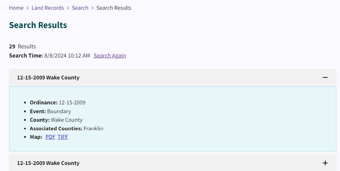
NC Geodetic Survey County and State Mapping ProgramThe Search Results display the ordinance date, event type, county, associated counties, and map.

State Deeds
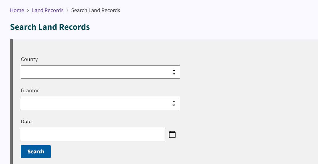
This link takes you to the Search Land Records tool.

